Overall land use layout of the Taichung Park: the park area is distributed in a long, narrow form extending from the northwest toward the south. The internal road system consists of the east–west arterial roads Jhongke Road and Keyuan Road, as well as the north–south routes Dongda Road and Keya Road, which connect the various industrial zones and form a comprehensive internal transportation network.
Land use within the park is primarily planned for dedicated business zones, distributed throughout the park. Some blocks are labeled with numbers and include tenant company names and area information to facilitate identification of the layout of each business unit. The remaining areas are designated as public land and related facility sites. A legend is provided beside the map, using combinations of colors with text, icons, or textures to distinguish different land-use categories (such as residential areas, parks, green spaces, parking lots, detention ponds, administrative service areas, environmental protection facilities, substations, and water utility facilities), presenting the overall spatial functions and layout of the park.
The map also includes an “Introduced Industry Categories” section listing the main industries established in the park, including aerospace industry, precision machinery, biotechnology, communication industry, optoelectronics industry, semiconductors, and other research related matching industry.
1.The above monthly rent does not include 5% business tax.
2.The area of professional zone can be allocated and divided according to the needs of manufacturer.
3.Land use intensity control: construction coverage rate 60%, floor area ratio 240%.
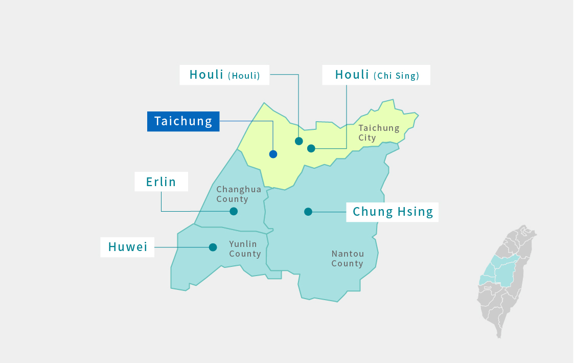
04-2565 8588
7729 Ms. Zheng